
PNW Voyage
Wrap up of the Trip
Dearest Friends and Family,
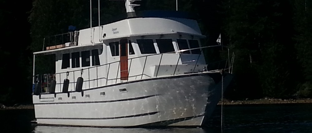
This will end the “official logs” of the voyate to the Pacific NW of M/V DESERT VENTURE and her crew. Our goal was to get inside the Strait of Juan de Fuca and we did it. And we did it quite well, as far as we are concerned. There are so many aspects to cruising on the ocean, it is hard to include them all in a brief log. I thought I would touch on two other topics and then this will end this series of logs.
The ocean is a living breathing entity, to me. It is never to be taken lightly, for granted or mocked. Its momentum starts far before it ever gets to where you are. By then it is just a matter for record, and sailors must decide best how to live in accordance to its will. That means we have choices of staying in port, or going out and mixing it up with the ocean. Technology has advanced in so many different areas the sailor has more than just a sextant and a wet finger pointed into the wind to figure out which way they are going, which way the wind is blowing, and how it will all come together. We used several invaluable weather and sea state websites to assist us in our voyaging decisions. These are provided, courtesy of NOAA. (National Oceanic and Atmospheric Administration)
This first website gave us real time information as to the sea state all along the Northern California coast. It tells us the wave heights, timing in seconds, and wind wave info if any, available at specific data reading buoys. We could look at anytime and see what was just ahead of us. Its purpose was to confirm that the forecast was holding true.
http://facs.scripps.edu/surf/nocal.html
This next website was our most accurate weather and sea state forecasting tool.
http://weather.noaa.gov/fax/ptreyes.shtml#WIND
From this website, we got 24, 48, 72, and 98 hour forecasts. We looked at the Sea State Analysis and Surface Analysis. These gave us an accurate forecast of the weather and how it was going to affect the sea. It was looking at one of these charts that got the captain saying “wow, wow, wow” and set in motion the departure for our trip.
 This wraps up our Ocean voyage newsletter. We are safe and sound in Port Angeles, WA. Our next move will be to Port Townsend, as I noted in Day 5. From there, well, we don’t know. We will probably head up to Friday Harbor, in the San Juan Islands and check out this very famous and popular stop in the San Juan Islands. The Puget Sound and the San Juan Islands is where you can find us for the next while.