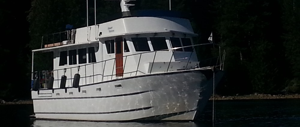
We completed our fourth trip – two days ago, north, up the west coast of Washington. Two of them started in San Francisco Bay, and two started on the Columbia River. The first three (2005, 2008, 2009) are in the blog, already. None of the trips have been identical or even close in some respects. You might like to go back and look at the previous blogs. I think the pictures will tell the story of the differences – in light, surface conditions, and objects photographed. Though I try to get photos of every voyage, I am a novice photographer, at best. Taking good pictures is in direct relationship to the motion of the ocean. In other words, my best pictures come during periods of calmer or dead calm water.
This trip was not the one I predicted at the end of the Grays Harbor Blog. In fact, I need to talk to the weather boys about the disparity between what they forecast and what we got. The National Weather Service got this one right, but not before the day. They may have a better feel for local phenomena and micro-weather systems. As for the west coast of Washington, I am uncertain what would cause a micro-weather system this time of year, that the weather experts would fail to identify, but it was local and it affected us. Affected badly? No, because if that had been the case we would do what we try to always do – stay at the dock! In my Grays Harbor blog I mentioned that the NW’ly winds that came up shortly after our arrival were to lay down around midnight. They didn’t. In fact, they had all night to mess with the ocean, creating bigger conditions than when we first arrived in Grays Harbor.
We started out with five to six-foot combined waves at five to six second intervals, with NW’ly winds around 17 knots. We don’t like this condition as it is exceeds our tolerance levels. For extended periods it is hard on our bodies and the boat. I have talked before about “square waves”. If the wind is on the “nose” –which it was – we get that up/down/splash motion – properly called pitching. These waves had all night to build and they were somewhat disorganized close into shore (refracting off the coast and back to sea), so there was also some rolling involved – which is what happens when the wind and waves are on your quarter or beam. I hope that you are getting a picture of our first three hours. We wanted to believe the forecast and so we hoped the conditions were local phenomena and that it would improve as we moved north. We decided to give it three hours. During this time we constantly checked the weather buoys up ahead, via our aircard internet connection. Each buoy has its own website and updates hourly. Here is the link to the Destruction Island sea buoy – http://www.ndbc.noaa.gov/station_page.php?station=desw1. Their reports were mixed, but we liked that the further north, the better the conditions – so we decided to continue and make the best of it. We already had three hours of our 13 hour trip behind us, it seemed that it had moderated, and we certainly didn’t want to do those same hours again – maybe, in a week!

Right about now I know some of you are imagining some horrific ocean conditions and are writing in your notebook on the page “Things I Never Want to Do”. Maybe you should hold that thought. I have time to contemplate our life, circumstance, and current situation while on these longer voyages. As I have mentioned previously, on my first trip down the coast in 2002, I was anxious and sometimes fearful. But, I have learned a lot since that first voyage. I have a very capable captain – who I trust; I know more about our boat’s abilities and responses; and as I learn more, I have become more tolerant of conditions. Some conditions – not any/all conditions! So, while contemplating our current situation, I realized that I was not afraid – at all. There was really nothing to fear. Though it was bumpy, I was handling it. I had no seasickness. I did hold on during the early hours, but that was to brace myself, which is a smart thing to do!
We exited Grays Harbor at 0510 with most of the charter boat fleet. The docks were crawling with hundreds of people headed to run, or charter the fishing boats. I’d hazard a guess that some of the charter guests were not that comfortable heading out to sea. It was cold and windy, with animated seas, and the captains waste no time getting to the fishing fields, so there was some bouncing on those boats. I bet a few of them lost their breakfast on their way to the fishing grounds. I hope they had good luck by the end of the day.

Picture taking was limited on this cruise. The sunrise picture was taken through the open window. [Don’t you just love sunrises? I am generally only awake to see them on early voyage mornings. ] It wasn’t safe to step out on deck to get pictures. There was so much salt spray on the windows I couldn’t take a picture through the closed window (sometimes successful), and the motion of the boat did not lend itself to still shots! In fact, when you are busy bracing yourself, you don’t think much about photography! In some deep place I feel I have just let down my journalistic bent to report the “whole” story – but it is what it is! My desire to become a better photographer was totally on hold yesterday. Sure – I’ll set up a tripod – yeah, that will make it okay. I don’t think so! Nor will tripods ever be a remedy on board. It may be able to hold the camera still – but what about the boat? I have learned to take fairly good shots bracing myself, and the camera has a stabilizing function that serves as my alternative to a tripod. It works fairly well, because I do get some good “still” shots while underway. I have an artist friend that paints from the bow of her boat, when at anchor. If you think photography is tricky on a moving boat, think about painting. She decides what her subject will be, starts sketching, looks up and her subject has disappeared – as the boat horses or moves with the current. Sometimes her subject is just off to the right or left, which requires a lot of looking over her shoulder, and sometimes it is hidden by the boat, directly behind her. You might like to follow her blog at http://katherine-artandmusic.blogspot.com/. She and her husband are going to SE Alaska this summer on their boat. I am sure you will get some great insight into their trip and her art along the way.
Conditions did moderate to one to three foot chop (see the top photo), with an occasional four foot, on a short period of three to six or so seconds. The wind never dropped under 12 knots all day. These conditions leave the surface “messy”. They don’t require the same level of holding on and bracing oneself – except when attempting to get food out of the refrigerator! The Washington coast is heavily peppered with crab trap buoys this time of year. They are in the water at just under 20 fathoms deep – give or take 10 fathoms. We could have run much further offshore, in deeper water, and avoided them, but it would have made for a longer, and more expensive, trip. We were constantly on watch for buoys hidden in the waves. Flat conditions make the buoys easier to see, but still require watching and avoiding, but in the animated seas it was a nerve wracking watch. Bruce also saw three large logs go by.
One of our favorite authors is Nelson DeMille. He has a new book (“The Lion”) coming out the first part of June. It is a sequel to one we have already read. While Bruce was watching for buoys, I started reading the prequel book out loud to keep us awake, entertained, and get us up to speed for the new release. Instead of books on tape, it was books by live and in person voice.

Conditions did continue to improve the closer we got to Cape Flattery. And that is when I got more pictures, too. We have gone by Sea Lion Rock and I have never taken a picture. I think I was in a sardonic frame of mind (probably brought on by the novel), that it hit me – this is Sea Lion Rock! It’s a natural habitat of sea lions. Yeah, natural! What is it with all those folks who want to say docks in marinas are “sea lion natural habitat”? Nope, not even close. Sometimes it is the dock that seems to draws the sea lions. It’s like “Hey, look – free moorage”! Look close at the left edge of the rock – sea lions – lots of them!
 It is always intriguing to me to see the place where the Pacific Ocean meets the Strait of Juan de Fuca. There is always a demarcation line that defines the two bodies of water. Note the calmer water closer to shore – that is the Strait of Juan de Fuca
The second two pictures are sea lions in their natural habitat – Strait of Juan de Fuca.


Once again, thankfully , we completed a successful voyage on the Pacific Ocean. We arrived in Neah Bay 13.1 hours and 105 miles later. Though this isn’t a major ocean crossing, and it was of short duration compared to the ocean sailors, it still requires proper planning, dependable equipment, and a desire to go on the sea to get from one place to another.
Our plans for the summer cruising are still in the planning phase. After all, we are retired, have no schedule, and just know we are going to take it slow and easy and have fun along the way – which is what Cruising in 2010 is all about!

Glad to hear you made it…and so quickly! I’m envious that we are not up there too. Have a great summer and keep in touch.
We miss you guys and wish you were up here to rendezvous with!
Your wonderful detailed descriptions and breathtaking photos allow this landlubber to enjoy your adventures without fear of seasickness or drowning! (smile) Hope you and the Captain enjoy continued safe travels!!!!
Though our way of life and travel sounds scary – think how scary it is driving I-5! We had no traffic or stressed out drivers to contend with, which makes what we do pretty safe!
Great photos of the sea lions, Angie! I have only seen that island from the land up at Cape Flattery and hiking trails nearby.
Glad to know that you and Captain are safe and sound! We’ll look forward to seeing you in a week or two in the Sound.
Thank you for your kind words about my blog. Artwork aboard is a challenge, that’s for sure!! But, I’ve packed my art supplies and I am ready to try it again. Soon. Hugs. Katherine
Thanks Katherine! Have a safe trip with! In looking at the pictures I took, though I didn’t see it at the time, there were probably a dozen people up at the lookout on Cape Flattery!
We start a 7 day trip on the 21st, going into Canada, not too far but far enough.
Our boat is now moored in Anacortes, which has saved us about 6 hours per trip run time.
Steve & Karen, We’ll find you on our way north!